
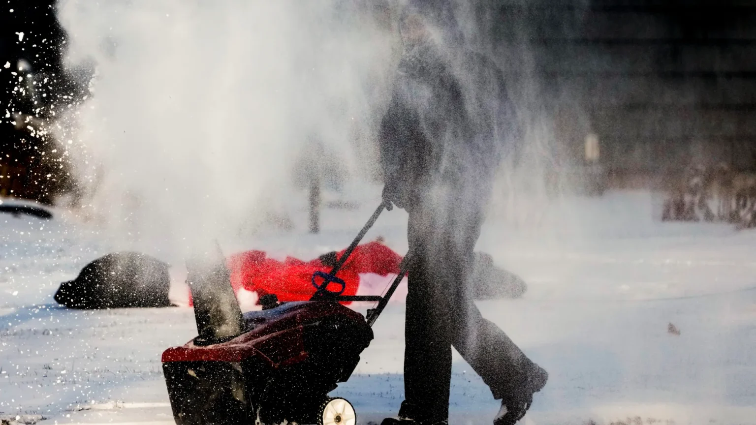

A strong winter storm is moving east across the United States, bringing heavy snow, rain, ice, and sharp temperature drops across multiple regions.
The National Weather Service has warned of blizzard-like conditions in the Upper Midwest and Great Lakes, where snowfall totals could exceed a foot, with localized areas near Lake Superior receiving up to two feet.
Dangerous wind chills as low as minus 34 degrees Celsius have been reported in North Dakota and Minnesota, while a fast-moving cold front has caused temperatures to plunge by 30 to 40 degrees Fahrenheit within hours across the central and southern Plains.
In the Northeast and Mid-Atlantic, the storm is expected to bring a mix of snow, freezing rain, and sleet, leading to hazardous travel conditions and widespread flight cancellations in major airports including New York, Philadelphia, and Chicago.
Authorities have urged residents to avoid unnecessary travel, prepare for possible power outages, and take precautions against frostbite and hypothermia as the storm continues its eastward path.
The system is one of the most disruptive weather events closing out 2025, combining blizzard conditions, freezing rain, and sudden cold snaps across large parts of the country.